
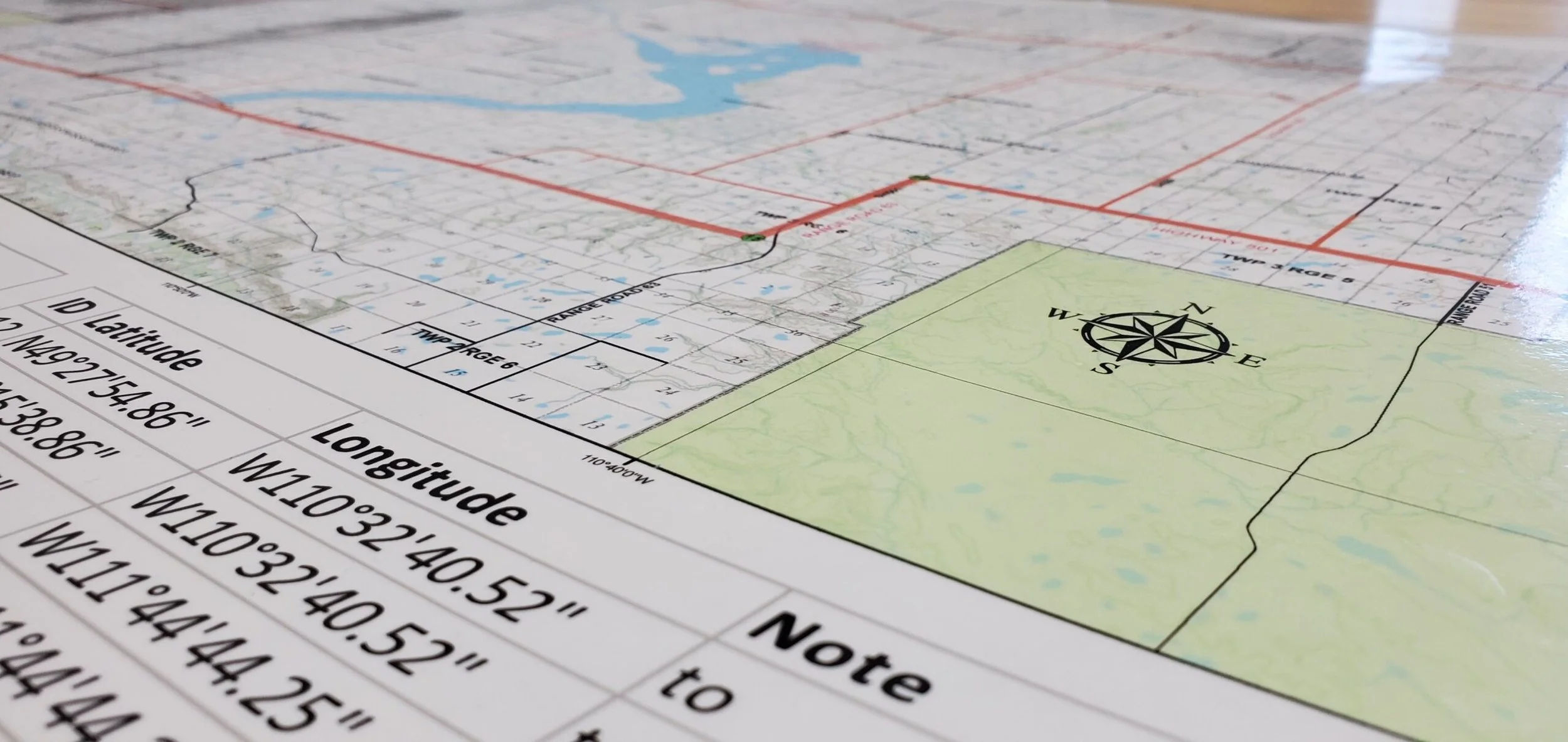
Restricted Airspace for BVLOS
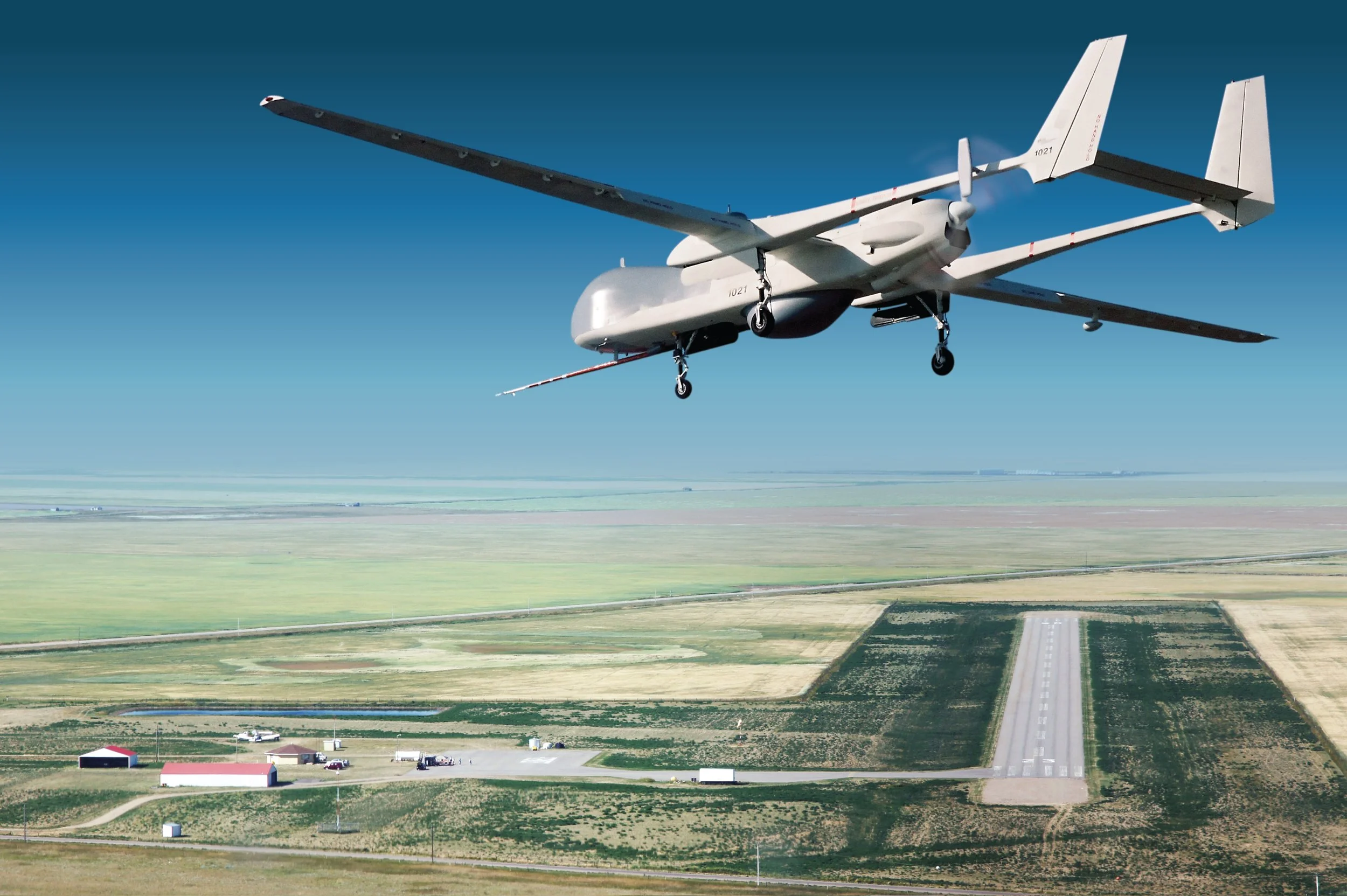
The Foremost UAS Test Range is available to gain operational RPAS experience or to prove the capabilities of the systems you are operating when flown under BVLOS conditions.
The Transport Canada approved Foremost UAS Test Range is available for anyone to fly.
The restricted airspace of CYR 234, 235, & 236 covers a 700 NM2 or 2,400 KM2 area, and up to 18,000 FT ASL. Together they contain some of the most accessible airspace for R&D and T&E in North America and throughout the world for Canadian and International organizations to test, validate, and demonstrate their UAS platforms.
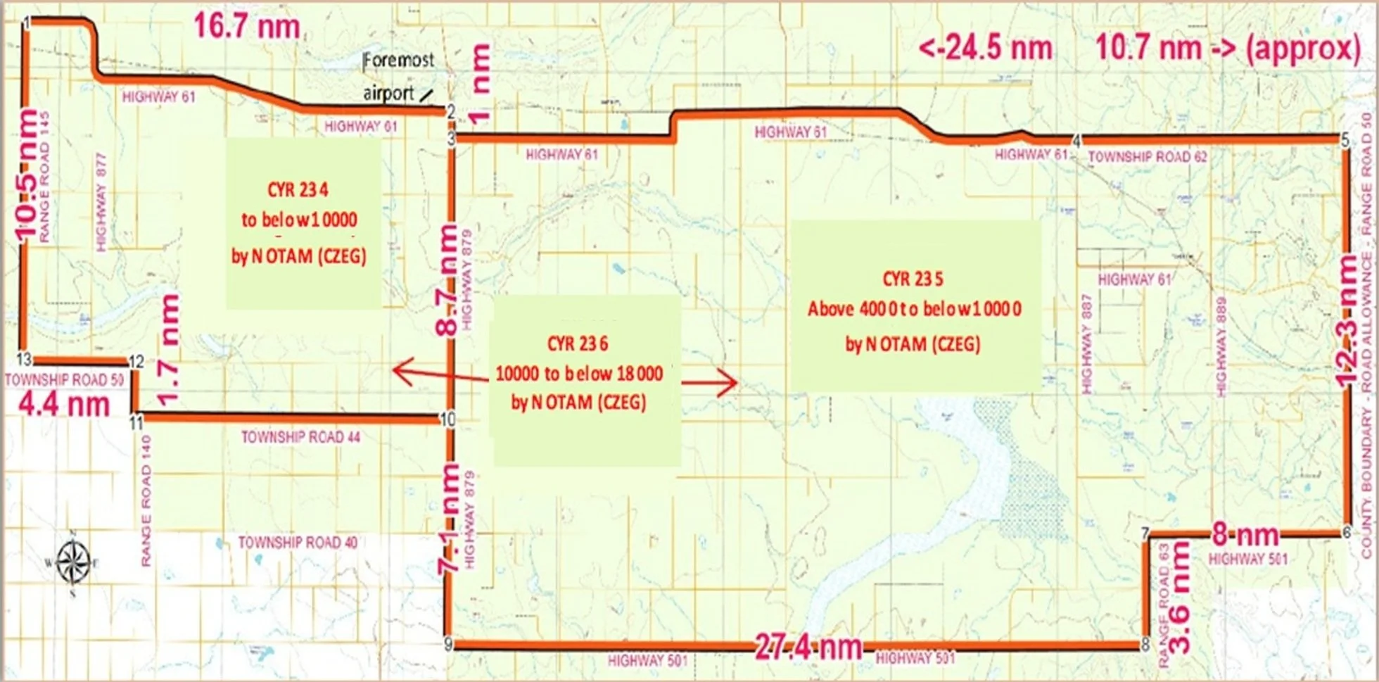
For planning purposes, you can find the Test Range KMZ files for each of the 3 restricted airspace segments below.
Location
The Foremost UAS Test Range operation is located at the Foremost Airport (CFD4) @ N49°28.98' / W111°29.67'
Elevation is 2909 feet (887 metres) MSL with an asphalt runway: 3000 x 75 feet (915 x 23 metres) oriented 05/23.
The Foremost UAS Test Range consists of three (3) regions:
CYR234: Surface to Below 10,000FT ASL;
CYR235: Above 4,000FT to Below 10,000FT ASL; and
CYR236: 10,000FT to Below 18,000FT ASL.
-
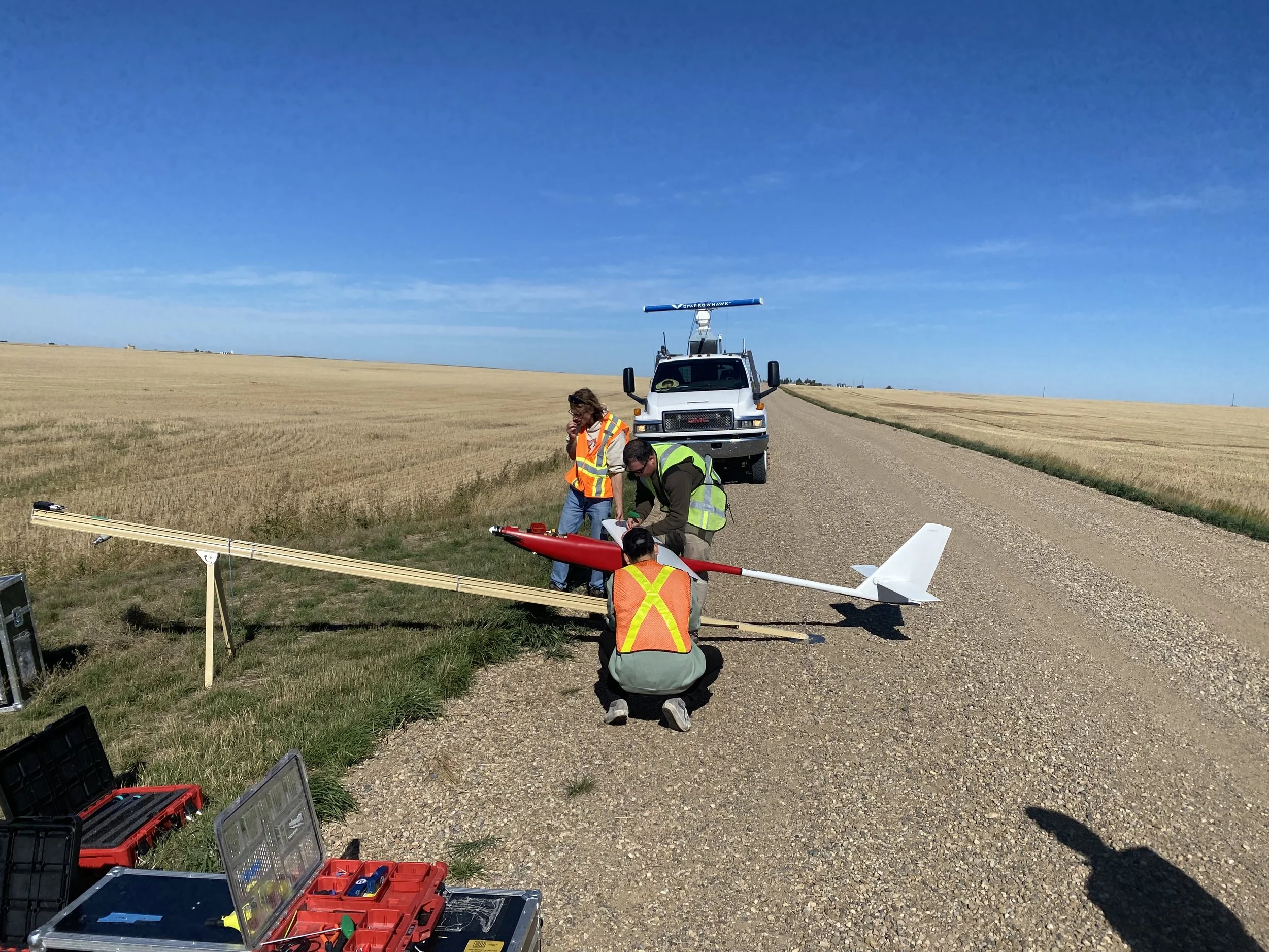
An extensive road network makes every square mile of the airspace easily accessible.
-
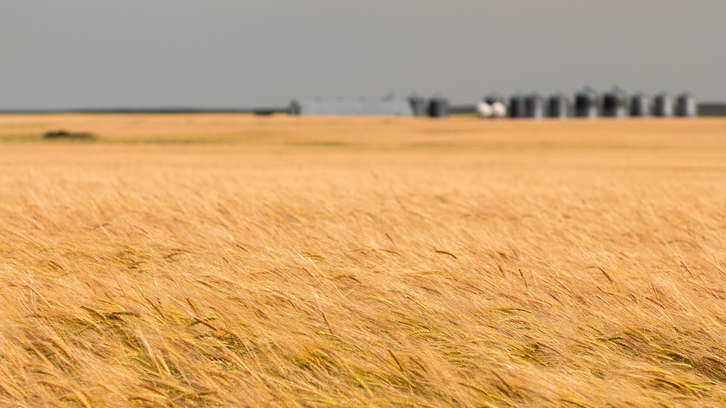
Largely flat terrain affords extended sight lines.
-
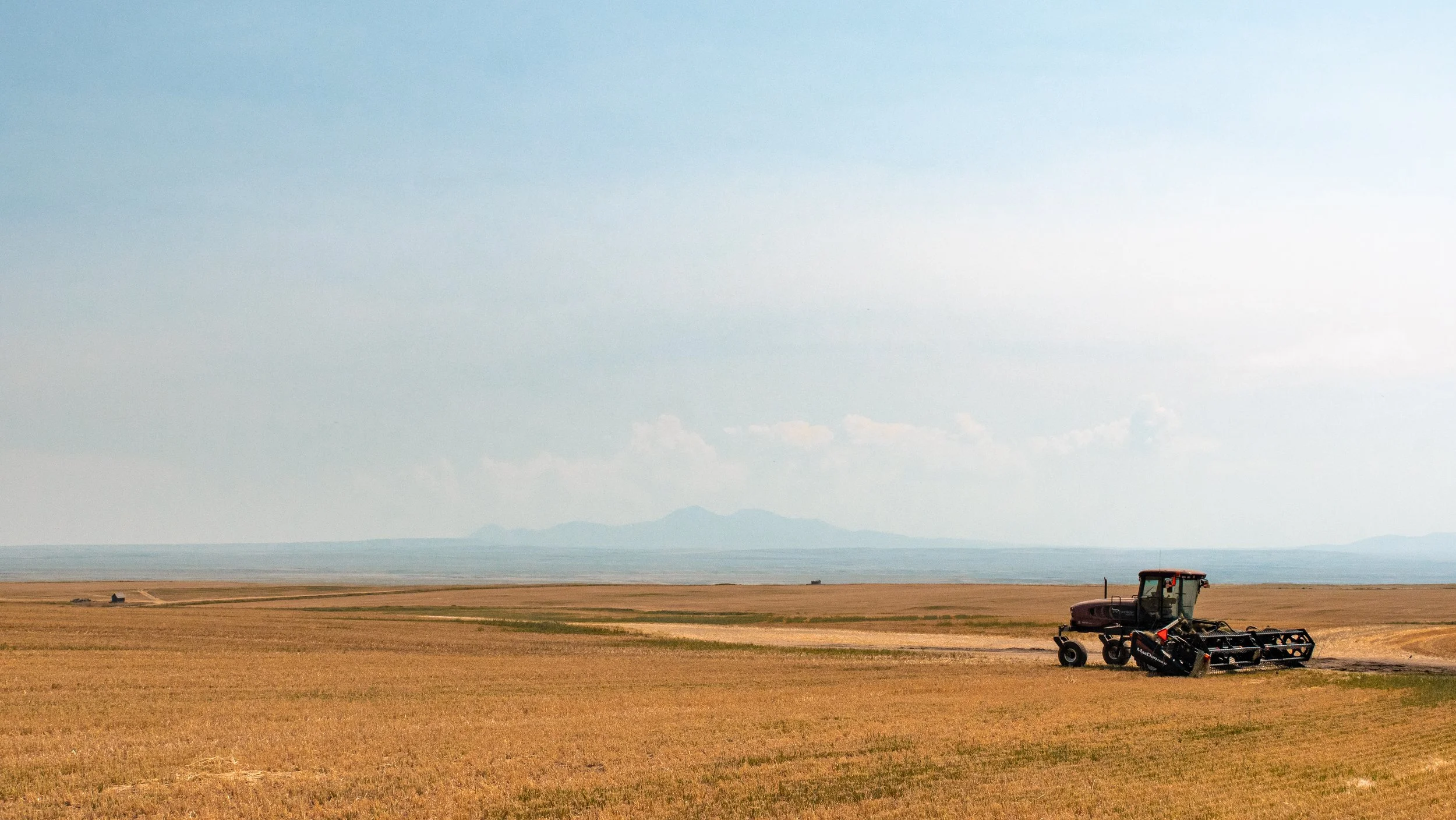
The large farming industry also ensures forgiving terrain in case of a forced landing.